found.husk.org
images.
tagged map.
page 8 of 13 with 305 images.
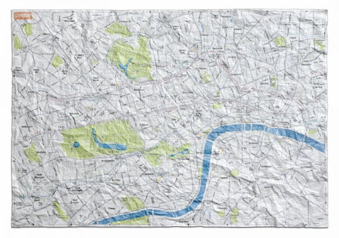
city
crumpled
detail
lines
london
map
paper
river
street
vintage
Crumpled City Maps: When Folding Neatly is not that Practical - information aesthetics
big
brother
debris
earth
global
map
network
orbit
satellites
space
Flickr Photo Download: Big Brothers
address
city
envelope
letter
location
map
paper
postcard
send
white
mapenvelop : beste miray
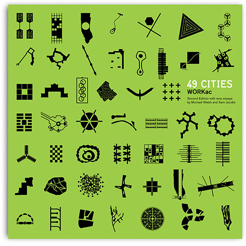
abstract
architecture
city
design
geometry
graphic
illustration
map
plan
urban
Storefront for Art and Architecture | 49 Cities
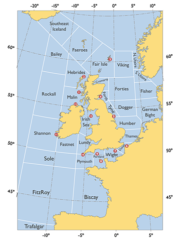
atlantic
british isles
europe
ireland
north sea
uk
coast
grid
map
ocean
UK_shipping_forecast_zones.png (PNG Image, 960×1280 pixels) - Scaled (47%)
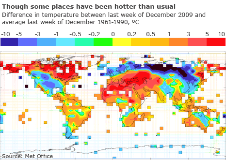
2009
change
climate
december
globe
hot
map
temperature
weather
world
BBC News - Airport chaos as icy weather grips northern Europe
projection
continents
distorted
earth
flat
geography
global
globe
map
world
BLDGBLOG: Cracking the Planet
city
development
downtown
grid
layout
map
plan
streets
structure
urban
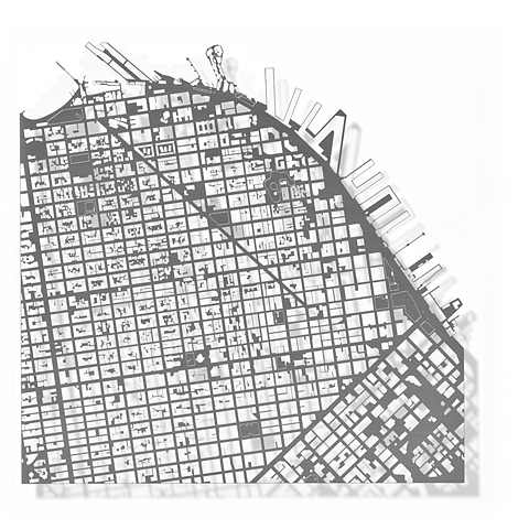
SanFrancisco
aerial
city
gray
grid
layout
london
map
plan
streets
urban
London
city
direction
folded
folding
guide
map
navigation
paper
tourism
travel
Buy a London Map - The Zoomable Map
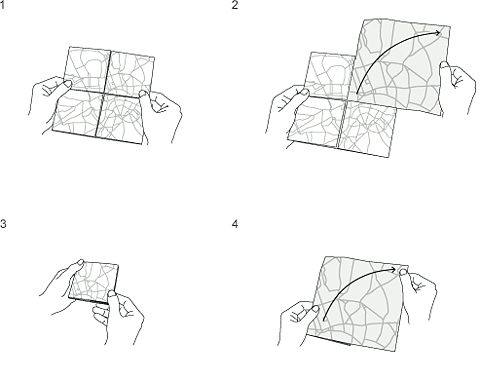
diagram
directions
fold
folding
guide
how-to
instruction
instructions
map
paper
steps
unfold
The Map - The Zoomable Map
connections
flight
global
globe
international
map
network
routes
travel
world
Flickr Photo Download: Flights 001
city
discussing
friends
guys
looking
map
men
pointing
three
stamen design | HQ2 week 1
diagram
chart
connections
dots
graph
lines
map
network
nodes
relationships
Flickr Photo Download: Corridor8
england
layout
street
buildings
city
map
plan
streets
uk
Village Underground
brittany
chart
coast
coastline
france
map
nautical
ocean
sailing
sea
BBC News | Enlarged Image
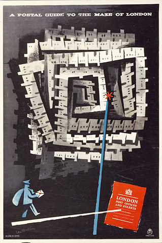
london
city
guide
guidebook
map
maze
office
post
postal
streets
Designs on delivery: Post Office posters from 1930 to 1960 | Art and design | guardian.co.uk
uk
united kingdom
highways
infrastructure
map
motorways
network
roads
transportation
travel
Flickr Photo Download: osm railways roads uk
america
turf grass
us
united states
area
coverage
fractional
grass
green
map
Lawn Surface Area in the United States : Image of the Day
city
compass
design
directions
graphic
grid
layout
map
minimal
urban
Blanka || Supersize
city
diagram
lines
map
metro
network
schematic
subway
transportation
urban
Blanka || Supersize
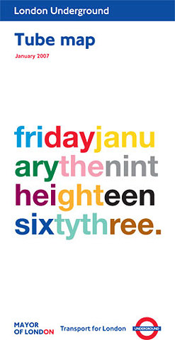
sixty
2007
friday
january
london
map
nineteen
three
tube
underground
Artists' London tube map designs | Art and design | guardian.co.uk
building
ceiling
design
geometric
glass
grid
map
modern
office
windows
carsten nicolai
abstract
art
design
graphic
lines
map
outline
shape
text
visual
Ampersanderson


