found.husk.org
images.
tagged globe.
page 1 of 3 with 53 images.
communication
computers
data
fiber optic
globe
internet
network
satellite
technology
world
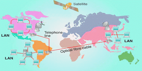
GCSE Computing: Computer communications and networking - The Internet
ibm
abstract
circles
colorful
design
geometric
globe
graphic
pattern
stripes
Design Envy · IBM THINK Exhibit: Carl DeTorres
communication
cover
fortune
globe
industry
magazine
price
satellite
shrinking
world
Walter Allner | RIT Graphic Design Archive
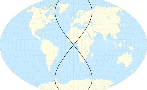
cartography
earth
flat
geography
globe
grid
mapmaking
projection
world map
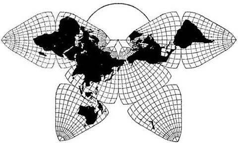
8) Critique of Fuller's Dymaxion Map compared to B.J.S. Cahill's Octahedral
architect
design
drawing
engineer
globe
maps
paper
planner
projection
world
The Fuller Projection Map | The Buckminster Fuller Institute
cartography
design
earth
fuller
geometric
globe
map
model
patent
world
4) Critique of Fuller's Dymaxion Map compared to B.J.S. Cahill's Octahedral
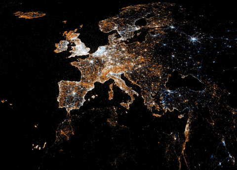
europe
connections
data
globe
grid
lines
map
network
night
travel
Math/Code / remixing Eric Fischer
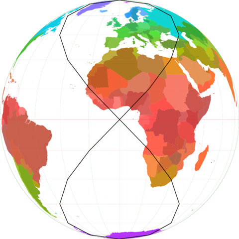
cahill-keyes
earth
flat
globe
grid
gridded
map
projection
real
world
Cahill-Keyes "Real-World" Map, Scale 2
geography
glasses
globe
man
map
professor
science
serious
suit
world
2) Critique of Fuller's Dymaxion Map compared to B.J.S. Cahill's Octahedral
buckminster
design
dymaxion
fuller
geographer
geography
globe
map
political
world
2) Critique of Fuller's Dymaxion Map compared to B.J.S. Cahill's Octahedral
art
geography
globe
illustration
lines
map
retro
travel
vintage
world
Pan Am's World | Flickr - Photo Sharing!
journey
circles
eclipse
globe
map
numbered
path
route
solar
world
Cape Canaveral JFK Space Center | Flickr - Photo Sharing!
atlas
continents
countries
geography
globe
map
pins
travel
world
world map
Alexis Madrigal - Authors - The Atlantic
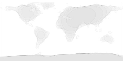
continents
earth
globe
gray
map
outline
simple
topography
white
world
Blurred map | Flickr - Photo Sharing!
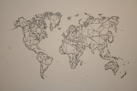
black
continents
geometric
globe
map
outline
polygonal
triangle
white
world
tumblr_ll97dyoqxW1qbvboao1_1280.jpg 1280×853 pixels
europe
atlas
blue
borders
continent
continents
countries
dots
geographical
geography
globe
location
map
ocean
political
regions
travel
world
lines of law and commerce | Flickr - Photo Sharing!
europe
city
dark
earth
globe
lights
map
night
satellite
stars
European detail map of Flickr and Twitter locations | Flickr - Photo Sharing!
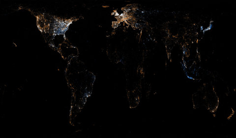
city
earth
globe
lights
map
night
planet
satellite
urban
world
World map of Flickr and Twitter locations | Flickr - Photo Sharing!
earth
city
darkness
globe
lights
night
planet
sky
space
stars
United Kingdom and Ireland as seen from ISS | Flickr - Photo Sharing!
century
communication
connections
globe
speech
technology
telephone
wires
woman
world
Modern Mechanix » WEAVING THE WORLD OF SPEECH
abstract
circular
concentric circles
design
futuristic
globe
lines
pattern
technology
world map
Museum of Fine Arts Boston, Martin Luther King Day 2011 | Flickr - Photo Sharing!
earth
equator
geography
globe
latitude
lines
longitude
map
meridian
world
File:Lines of equal latitude and longitude FROM (World map Winkel Tripel proj-0deg centered.svg).PNG - Wikipedia, the free encyclopedia
borders
continents
countries
earth
geography
globe
international
map
political
world
File:Lines of equal latitude and longitude FROM (World borders parallel.png).PNG - Wikipedia, the free encyclopedia
cities
destinations
europe
geography
global
globe
map
travel
world
world map
thesearethings — World Map / Black


.PNG)
.PNG)