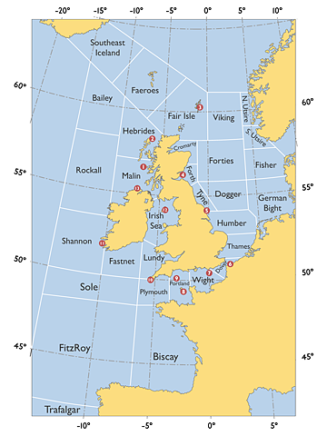
quoted from UK_shipping_forecast_zones.png (PNG Image, 960×1280 pixels) - Scaled (47%)
upload.wikimedia.org/wikipedia/commons/7/75/UK_shipping_forecast_zones.png
Saved by: 2 ffffound users
Date saved: 2010/01/24 01:01:15
View related images:
Visual_Smith_Chart.png (PNG Image, 1146x1340 pixels) - Scaled (74%)
Automatically generated tags:
map 308
grid 236
ocean 51
uk 30
europe 23
coast 14
ireland 4
atlantic 3
north sea 1
british isles 1
Date saved: 2010/01/24 01:01:15
View related images:
Visual_Smith_Chart.png (PNG Image, 1146x1340 pixels) - Scaled (74%)
Automatically generated tags:
map 308
grid 236
ocean 51
uk 30
europe 23
coast 14
ireland 4
atlantic 3
north sea 1
british isles 1