found.husk.org
images.
tagged infrastructure.
page 1 of 2 with 32 images.
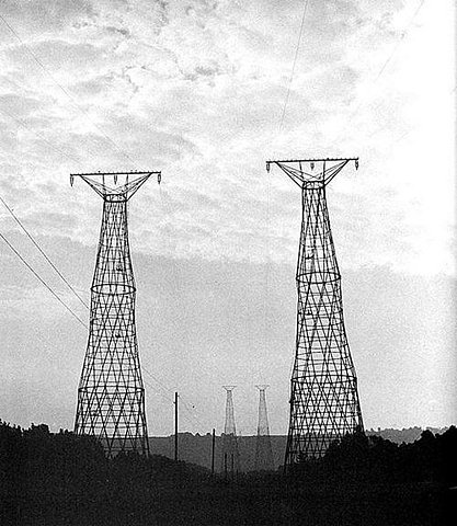
electricity
grid
infrastructure
lattice
metal
power lines
sky
towers
transmission
wires
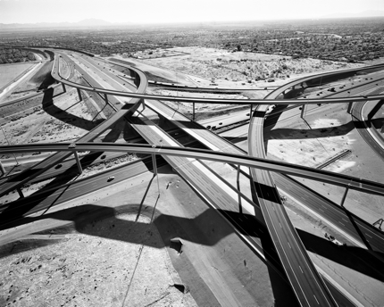
AmazingFuture
arch
bridge
diagram
highway
illustration
infrastructure
map
nyc
transportation
urban
Stephen James Kennedy – Harlem River Bridge Transects
infrastructure
analysis
bar graph
chart
data
design
diagram
graphic
lifespan
visual
expiration dates – mammoth // building nothing out of something
aerial
buildings
cityscape
gray
infrastructure
model
overhead
streets
urban
view
stamen design | Goings on
city
density
development
grid
infrastructure
map
network
population
urban
urban sprawl
See something or say something | Flickr - Photo Sharing!
city
industrial
infrastructure
lines
power
railway
steel
tracks
train
urban
Rail Yard | Flickr - Photo Sharing!
la
aerial
city
cityscape
freeway
highway
infrastructure
roads
traffic
urban
Prix Pictet - Shortlist 2010 - Edward Burtynsky - Highway #5
city
infrastructure
map
navigation
network
river
roads
streets
transportation
urban
oneYearLND09-10_101115-large.jpg (2362×1662)
city
design
grid
infrastructure
layout
maps
network
plan
route
urban
Umbrico : map
city
grid
infrastructure
map
network
plan
roads
streets
transportation
urban
Personal geography of 2010 | Flickr - Photo Sharing!
aerial
city
cityscape
concrete
freeway
highway
infrastructure
roads
traffic
urban
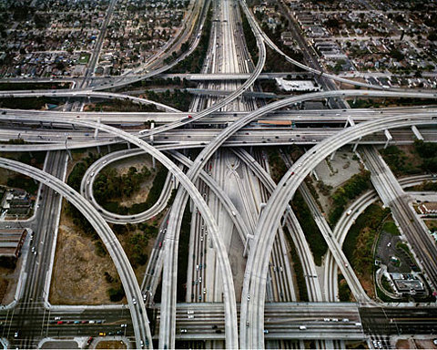
The Believer - Michael Light - LA NIGHT
city
concrete
freeway
highway
infrastructure
interchange
overpass
roads
traffic
urban
The Architect's Newspaper
cabinets
computing
data center
equipment
hardware
infrastructure
racks
servers
storage
technology
Forschungszentrum Jülich nimmt schnellsten Supercomputer Europas in Betrieb :: Linux-Cluster-Forum.de :: Willkommen beim Linux-Cluster-Forum dem HPC Portal und online Magazin
california
density
grid
infrastructure
map
network
pattern
roads
system
transportation
urban
all streets | ben fry
london
city
infrastructure
map
network
river
streets
transportation
urban
Flickr Photo Download: The Geotaggers' World Atlas #2: London
city
diagram
grid
infrastructure
lines
map
network
plan
streets
urban
Computer City Project - Archigram Archival Project
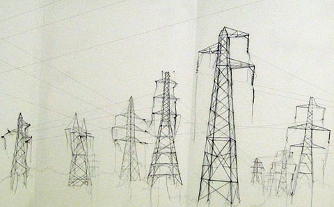
electrical
energy
grid
infrastructure
network
power lines
pylons
towers
transmission
wires
london design festival 08: debbie smyth at tent london
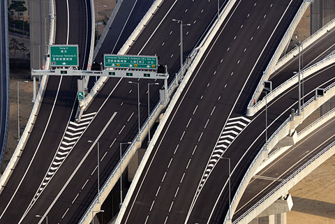
asphalt
bridge
concrete
highway
infrastructure
intersection
lanes
overpass
road
traffic
SkyscraperCity - View Single Post - Hong Kong Stonecutters Bridge-- longest span cable-stayed bridges
abstract
beams
cables
ceiling
colorful
infrastructure
network
pattern
technology
wires
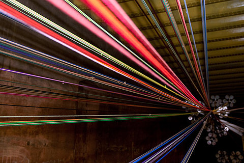
In Pictures: "Chord" At Kingsway Tram Tunnel - Londonist
aerial
freeway
highway
infrastructure
interchange
network
overpass
roads
traffic
urban
In pictures: From extraction to consumption: Oil, an exhibition by Edward Burtynsky | Environment | guardian.co.uk
bridge
concrete
construction
freeway
highway
infrastructure
pillars
road
support
underpass
Flickr Photo Download: .
uk
united kingdom
highways
infrastructure
map
motorways
network
roads
transportation
travel
Flickr Photo Download: osm railways roads uk
design
city
infrastructure
layout
map
network
plan
roads
streets
urban
but does it float
aerial
city
density
grid
infrastructure
layout
map
plan
satellite
urban
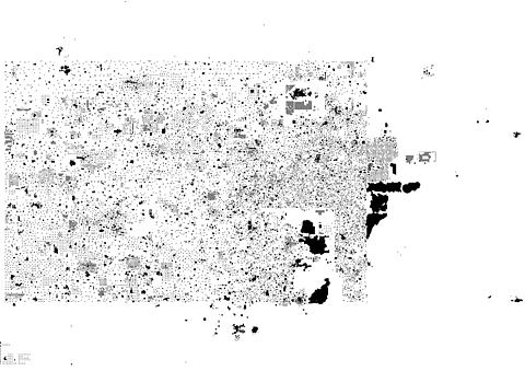
HubLog: Second Life BigMap