found.husk.org
images.
tagged routes.
12 images.
boston
city
lines
map
network
routes
stations
subway
transit
transport
sss_BOSTON_sm | Flickr - Photo Sharing!
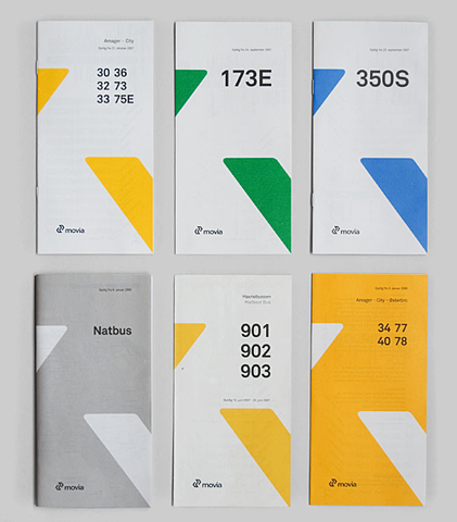
bus
city
design
movia
numbers
routes
schedule
timetable
transportation
travel
Flickr Photo Download: 20.04.09_10
connections
flight
global
globe
international
map
network
routes
travel
world
Flickr Photo Download: Flights 001
1933
europe
air
airline
flight
map
network
plan
routes
travel
Figures
airport
flight
lines
map
navigation
paths
planes
routes
runways
travel
hughen.airport.sfo.oak
bus
city
density
diagram
edinburgh
map
routes
scotland
services
transport
british-transport-commission_passenger-transport-in-glasgow-and-district_1951_density-of-scottish-bus-group-services_3000_3099_600.jpg (JPEG Image, 3000x3099 pixels) - Scaled (25%)
aerial
airlines
airport
flights
map
network
new york
routes
travel
united states
Key to Eliminating U.S. Flight Delays? Redesign the Sky Over New York City
europe
airline
cities
countries
data
flight
map
routes
transportation
travel
visualization
world
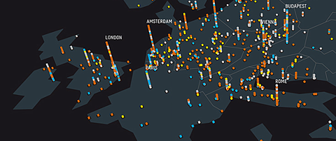
VisualizingLastfm
connections
global migration
international
journey
map
migration
network
routes
travel
world map
OVERNEWSED BUT UNINFORMED || STEFAN BRÄUTIGAM
mta
nyc
new york
new york city
subway
guide
lines
map
route
routes
subway
subway map
transit
transportation
vintage
1972abcl.jpg (JPEG Image, 365x673 pixels)
world
airlines
connections
global
lines
map
network
routes
transport
travel
by a long sea and a long land carriage :: Creative Synthesis Collaborative
mta
map
nyc
new york
subway
subway lines
system
transit
transportation
lines
map
network
routes
system
train
transit
transportation
MoMA.org | The Collection | Massimo Vignelli. New York Subway Map. 1970


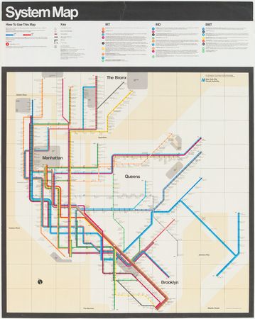