found.husk.org
images.
tagged map.
page 6 of 13 with 305 images.
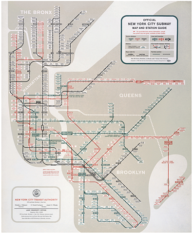
guide
lines
map
nyc
new york
stations
subway
system
train
transit
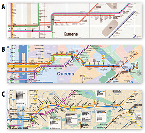
Redesigning the New York City subway map - O'Reilly Radar
nyc
new york
subway
diagram
lines
map
subway map
train
transit
transit system
Redesigning the New York City subway map - O'Reilly Radar
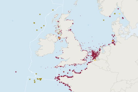
belgium
denmark
europe
germany
ireland
netherlands
norway
sweden
uk
europe
location
map
maritime
nautical
ocean
sea
shipping
vessels
The Map Room: Dumped Munitions in the North Atlantic
campus
directions
guide
map
me
pedestrian
traverse
university
walking
warwick
Traverse Me
california
density
grid
infrastructure
map
network
pattern
roads
system
transportation
urban
all streets | ben fry
pattern
abstract
city
lines
map
network
pink
roads
streets
white
four days in september (NYC) | Flickr - Photo Sharing!
atlas
book
geography
islands
land
map
ocean
remote
sea
travel
The Book Bench: Islands in the Storm : The New Yorker
city
display
exhibit
map
military
miniature
model
planning
scale
war
The giant "Paradise in Panorama" relief map - Media (1 of 7) 'Paradise' found: 70-ton elephant at S.F
london
city
inspirational
map
poster
quote
red
travel
typography
vintage
NAVIGATION
bus
city
guide
map
route
san francisco
streets
tours
transportation
travel
The Infomercantile: San Francisco, via Gray Line
abstract
city
design
grid
lines
map
pattern
street
texture
urban
london ART PRINT 24x18 by studiokmo on Etsy
architecture
circus
competition
design
london
map
piccadilly
plan
proposal
site
Piccadilly Circus Competition - Archigram Archival Project
city
grid
lines
map
network
paths
streets
transportation
travel
urban
10 days in Montreal | Flickr - Photo Sharing!
aerial
blocks
city
design
layout
map
plan
streets
town
urban
Isle of Dogs | Flickr - Photo Sharing!
abstract
art
design
digital
geometric
graphic
map
pattern
pixelated
world
earth_1 | Flickr - Photo Sharing!
administrative
arctic
canada
map
north
nunavut
political
provinces
regions
territory
shipping | Flickr - Photo Sharing!
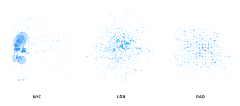
analysis
city
cluster
data
density
location
map
population
urban
visual
Archipelago | URBAGRAM
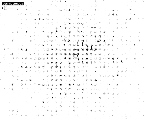
london
abstract
city
data
density
dots
map
population
social
visual
Archipelago | URBAGRAM
circular
design
highways
map
navigation
plate
platter
roads
travel
vintage
30's London map dish | Flickr - Photo Sharing!
iceland
adventure
airplane
guide
map
plane
tourism
travel
volcano
weekend
SUT KUTUSU - Hayal Diyarlarına Gezinti: Knack Weekend
counties
craft
cut
jigsaw
laser
maine
map
puzzle
state
wood
Shipping Forecast Rosary - 06 | Flickr - Photo Sharing!
england
london
map
boroughs
city
detail
guide
old
street
vintage
Courvoisier map of events and bars | Flickr - Photo Sharing!
caution
do not
gps
instructions
map
notice
paper
signs
use
warning
DO NOT USE GPS. | Flickr - Photo Sharing!
britain
city
density
england
europe
ireland
map
population
town
village
flocal admins / the UK is weird | Flickr - Photo Sharing!