found.husk.org
images.
tagged san francisco.
20 images.
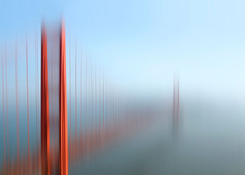
blurry
bridge
fog
golden gate
orange
red
san francisco
sky
structure
tall
parris wakefield - Home
san francisco
city
flow
flow map
map
street
streets
traffic
travel
urban
San Francisco Traffic Survey: Street Car Flow Map (1937) | Flickr - Photo Sharing!
bay
california
detail
historical
map
old
peninsula
san francisco
topographic
vintage
Stages of development of the San Bruno Turnpike/Bayshore Highway (2002) | Flickr - Photo Sharing!
city
san francisco
blocks
density
grid
layout
map
population
urban
San Francisco population density by block (2006) | Flickr - Photo Sharing!
1850
san francisco
burned
city
destruction
devastation
disaster
earthquake
fire
map
Geopolitical – Map – American – San Francisco Earthquake Burned Areas | Vintage Printable at Swivelchair Media – Beta
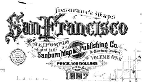
1887
san francisco
california
company
insurance
map
price
publishing
sanborn
volume one
sf-sanborn-lettering-1887.jpg (1526×880)
2008
muni
adult
fast
pass
san francisco
september
ticket
transit
transportation
Muni Fast Pass on Flickr - Photo Sharing!
1942
san francisco
city
downtown
map
one-way
parking
plan
streets
traffic
Proposed One-Way Streets and No Parking Recommendations, Central Business District for Immediate Adoption (1942) | Flickr - Photo Sharing!
aerial
alcatraz
bay
bridge
city
island
landscape
san francisco
view
water
All sizes | Alcatraz Island, Treasure Island (NASA, International Space Station Science, 01/28/10) | Flickr - Photo Sharing!
muni
san francisco
monthly
pass
stickers
tickets
tokens
transit
transportation
vintage
Muni Fast Pass Adult 2010 | Flickr - Photo Sharing!
art
bay
bridge
city
colorful
map
mosaic
oakland
san francisco
tile
tiley maps! | Flickr - Photo Sharing!
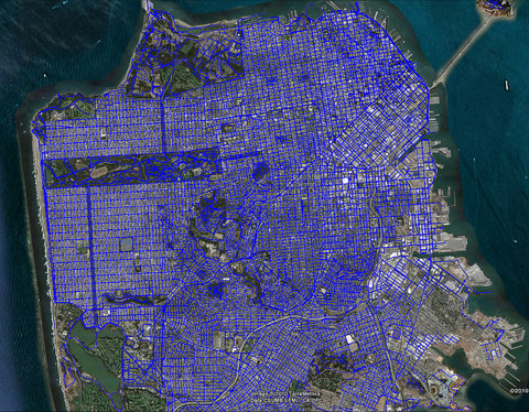
san francisco
aerial
blue
city
grid
map
network
roads
street
urban
Where I've been | Flickr - Photo Sharing!
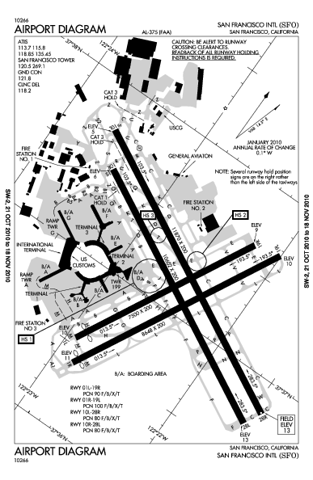
airport
aviation
california
diagram
international
map
runway
sfo
san francisco
terminal
KSFO AIRPORT DIAGRAM (APD) | FlightAware
bus
city
guide
map
route
san francisco
streets
tours
transportation
travel
The Infomercantile: San Francisco, via Gray Line
san francisco
city
city-scape
data
lines
map
network
route
transportation
travel
Flickr Photo Download: Motion within San Francisco / Berkeley / Oakland recorded by geotagging photographers
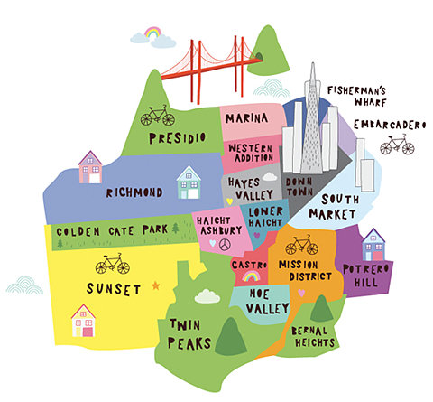
bicycle
california
city
districts
guide
map
neighborhoods
san francisco
travel
usa
city
districts
guide
locations
map
neighborhoods
tourism
travel
Chloe Fleury//Illustration
san francisco
city
city map
freeway
layout
plan
roadways
traffic
transportation
urban
File:1948 San Francisco trafficways plan.jpg - Wikipedia, the free encyclopedia
bay
city
contour
elevation
grid
hills
map
san francisco
streets
topographic
(no title)
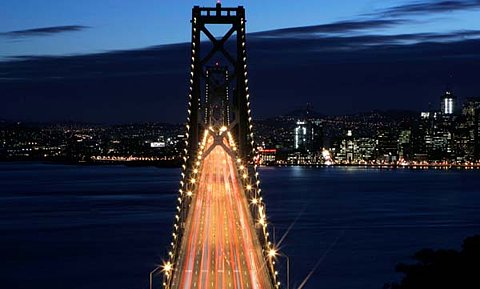
bay
bridge
city
cityscape
golden gate
lights
night
san francisco
traffic
urban
24 hours in pictures: January 31 2008 | World news | guardian.co.uk
1919
bus
fare
municipal
railway
san francisco
schedule
ticket
transfer
transit
SFist: SFist Finds: Vintage Muni Transfer


