found.husk.org
images.
tagged streets.
page 2 of 2 with 39 images.
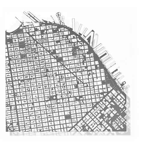
city
development
downtown
grid
layout
map
plan
streets
structure
urban
SanFrancisco
aerial
city
gray
grid
layout
london
map
plan
streets
urban
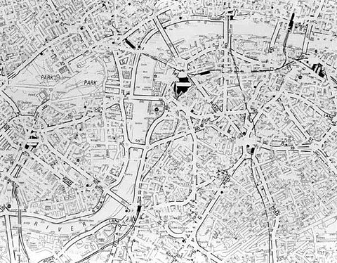
London
england
layout
street
buildings
city
map
plan
streets
uk
Village Underground
london
city
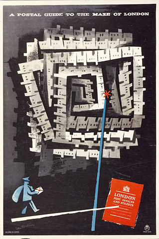
guide
guidebook
map
maze
office
post
postal
streets
Designs on delivery: Post Office posters from 1930 to 1960 | Art and design | guardian.co.uk
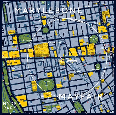
london
city
district
england
guide
map
marylebone
mayfair
streets
travel
Close up of the Legible London mapping at Legible London
design
city
infrastructure
layout
map
network
plan
roads
streets
urban
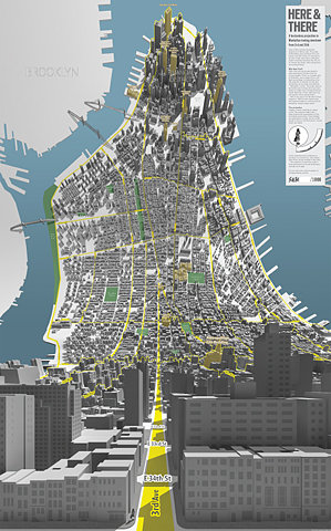
but does it float
3d
manhattan
nyc
aerial
buildings
city
map
perspective
streets
urban
Here & There — a horizonless projection in Manhattan
blocks
city
grid
layout
map
pink
plan
red
streets
urban
Somerville street numbers on Flickr - Photo Sharing!
bay
city
contour
elevation
grid
hills
map
san francisco
streets
topographic
(no title)
black
city
grid
infrastructure
map
network
road
streets
urban
white
Blanka || Supersize
black and white
city
grid
layout
map
network
plan
roads
streets
urban
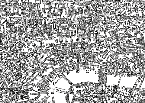
Untitled London, 2002 (detail)
london
art
city
design
graphic
illustration
map
streets
typography
word
501 - My London (RS)
aerial
buildings
city
cityscape
landscape
map
plan
satellite
streets
urban
We Made This: Poster tube
city
new york
black and white
cityscapes
lights
long exposure
night
streets
traffic
urban
BBC News | Enlarged Image
city
grid
lights
location
map
network
night
streets
traffic
urban
ito! - gallery