found.husk.org
images.
tagged aerial.
page 3 of 3 with 60 images.
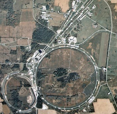
aerial
circular
facility
farm
field
industrial
landscape
road
satellite
track
UCL Physics & Astronomy
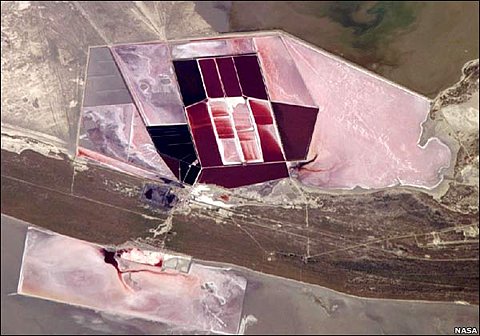
aerial
evaporation
mining
pink
ponds
red
salt flats
salt pans
satellite
water
BBC News | Enlarged Image
aerial
buildings
city
cityscape
landscape
map
plan
satellite
streets
urban
We Made This: Poster tube
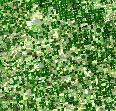
aerial
agriculture
circles
desert
dry
farm
field
irrigation
landscape
water
Flickr Photo Download: LV_SFO
aerial
buildings
city
cityscape
downtown
lights
metropolis
night
skyscrapers
urban
overshadowed
aerial
agriculture
crops
farmland
fields
green
grid
patterns
rural
satellite
VItraP
aerial
city
maps
navigation
road
route
signs
street
street signs
traffic
Cube_Wired_01 on Flickr - Photo Sharing!
abandoned
aerial
desert
dunes
rusted
rusty
sand
ship
shipwreck
skeleton
Ship Abandoned in the Desert
aerial
city
freeway
grid
highway
interchange
network
roads
traffic
urban
David Maisel :: Photography :: Oblivion
london
aerial
architecture
building
city
cityscape
skyscrapers
structure
urban
view
Twitter / MPSinthesky: The Shard.. http://t.co/Uyp6TD1n
aerial
airport
field
grass
lines
markings
overhead
pavement
perspective
runway
The Center for Land Use Interpretation
aerial
bay
city
coastline
earth
land
ocean
satellite
view
water
New York City in Winter (NASA, International Space Station, 01/09/11) | Flickr - Photo Sharing!