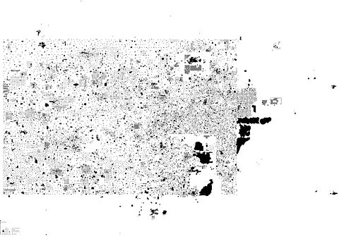
found.husk.org
images.
tagged plan.
page 3 of 3 with 64 images.
aerial
city
density
grid
infrastructure
layout
map
plan
satellite
urban
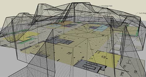
HubLog: Second Life BigMap
3d
architecture
blueprint
building
design
floor plan
layout
model
plan
schematic
cityofsound: Wi-fi structures and people shapes
buildings
city
houses
isometric
lines
map
plan
street
town
urban
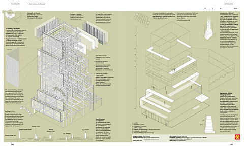
Hello. This is Matthew Irvine Brown's portfolio.
architecture
blueprint
building
construction
detail
diagram
elevation
isometric
plan
schematic
Gestalten - Books Detail: Data Flow
architecture
city
concept
design
drawing
futuristic
model
plan
schematic
urban
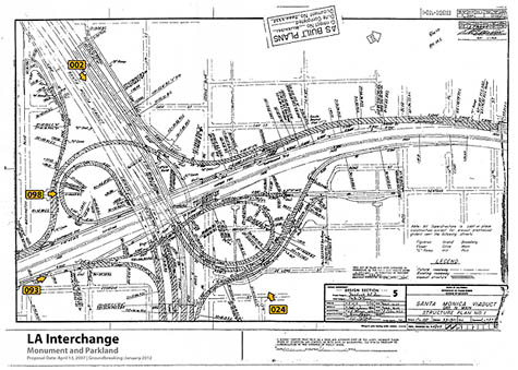
Untitled-5.jpg :: BURB
diagram
engineering
freeway
highway
interchange
map
plan
roads
structure
transportation
BLDGBLOG: The "Endless Accident Events" of Los Angeles
architecture
blueprint
building
design
grid
map
plan
sketch
structure
tower
VVORK »
blocks
city
grid
layout
map
pink
plan
red
streets
urban
Somerville street numbers on Flickr - Photo Sharing!
architecture
buildings
city
concept
design
model
plan
scale
structure
urban
Paternoster Square
city
grid
layout
maps
network
pattern
plan
street
streetmap
urban
» Toronto Tuesday: Urban fabric, street trees and streetcars vs. cars • Spacing Montreal
architecture
blueprint
design
drawing
geometric
grid
lines
perspective
plan
sketch
Flickr Photo Download: nyda.1000.001.00307.jpeg
black and white
city
grid
layout
map
network
plan
roads
streets
urban
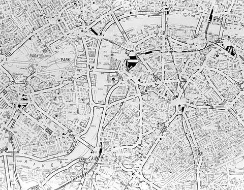
Untitled London, 2002 (detail)
aerial
buildings
city
cityscape
landscape
map
plan
satellite
streets
urban
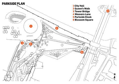
We Made This: Poster tube
park
bridge
city
hall
kiosk
lane
map
plan
square
walk
Charred timber at DSDHA’s Parkside kiosk near London’s City Hall links the area’s past and present - Building Design
building
construction
design
draft
engineering
layout
map
plan
schematic
site
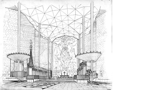
things magazine
architecture
cathedral
church
contemporary
design
drawing
modern
plan
religious
sketch
Gallery - Wallpaper.com - International Design Interiors Fashion Travel